
Advanced Underwater Awareness Through Acoustic Technology
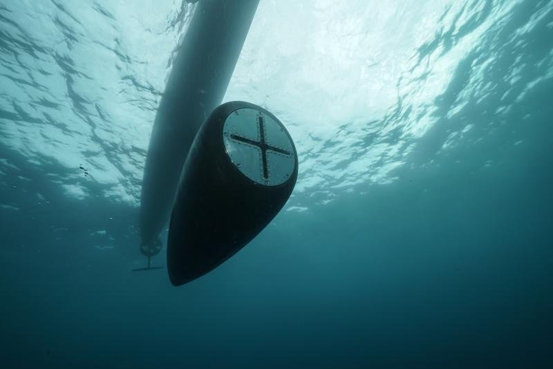
Underwater environments present challenges for conventional optical and radio-based sensing. SONAR uses acoustic signals and their reflections to help operators understand what lies beneath the water's surface.
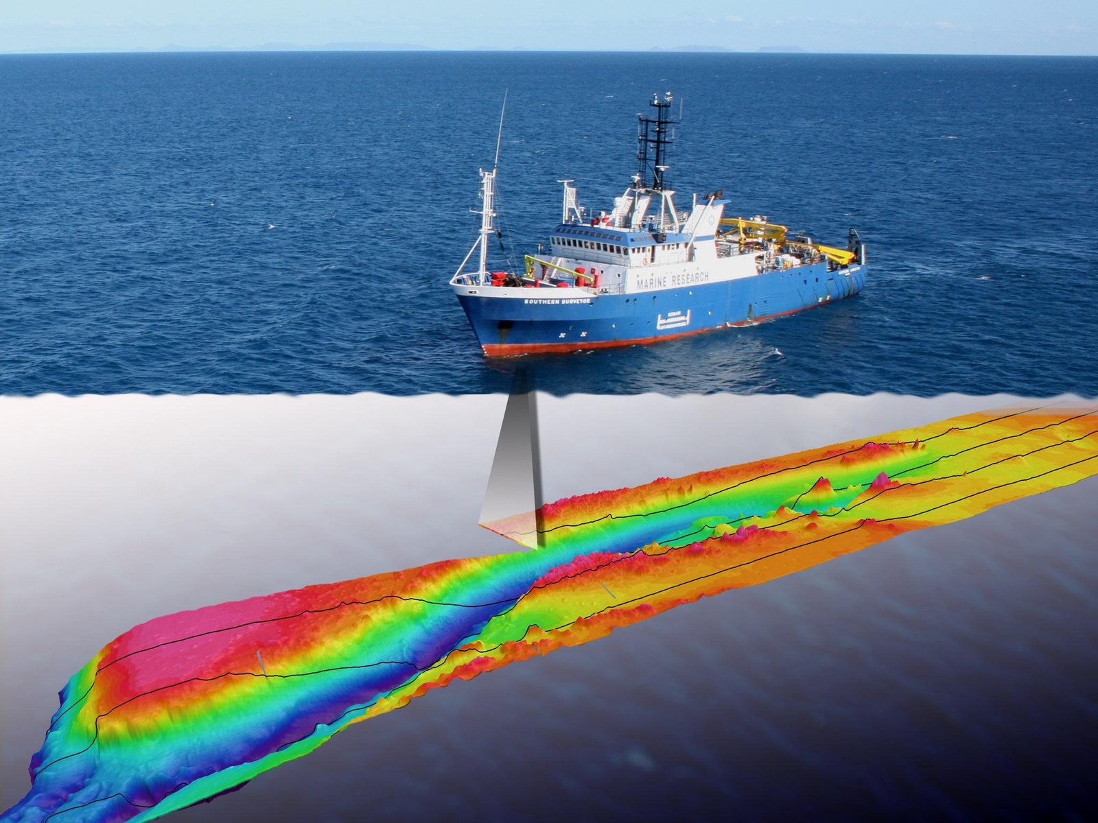
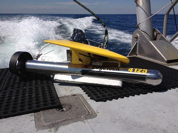
Depending on the selected equipment, sonar systems can support vessel navigation, bathymetric surveys, underwater object detection, harbour monitoring, and inspection of submerged structures.
TOTALOFFTEC supports the sourcing and integration of marine technology solutions according to project requirements. The appropriate sonar system depends on the operating platform, water depth, required detection or mapping performance, environmental conditions, and data integration needs.
SONAR Technologies
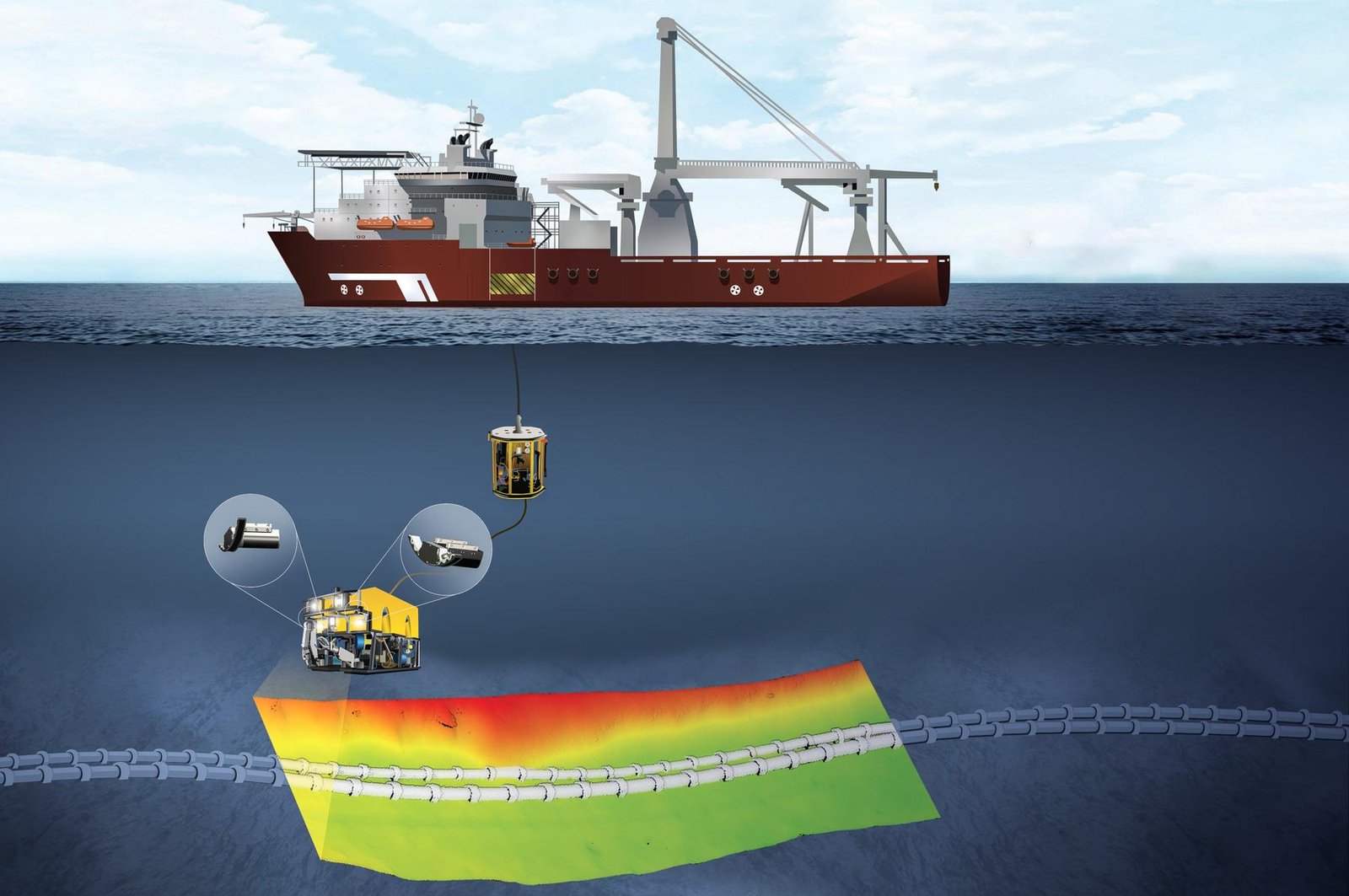
Applications
Navigation and Obstacle Awareness
Help crews assess submerged terrain and potential underwater hazards in conjunction with charts and other navigation systems.
Hydrographic Surveying
Support depth measurement, bathymetric mapping, and the collection of underwater terrain data.
Harbour and Port Infrastructure
Assist underwater inspection and survey activities around piers, docks, quay walls, and submerged structures.
USV, ROV and AUV Integration
Integrate compatible sonar payloads with unmanned surface, remotely operated, or autonomous underwater platforms for remote data collection.
Underwater Survey and Object Detection
Support the search, identification, and assessment of submerged objects, subject to system capability and operating conditions.
Key System Considerations
When selecting a sonar solution, consider:
- Operating frequency and range: Appropriate frequency depends on the application, water conditions, and required resolution.
- Detection and imaging performance: Review manufacturer specifications, target conditions, and demonstrated test performance.
- Platform compatibility: Confirm transducer mounting, vessel speed, power, and integration requirements.
- Data and display: Assess chart overlays, acoustic imagery, data logging, export formats, and compatible software.
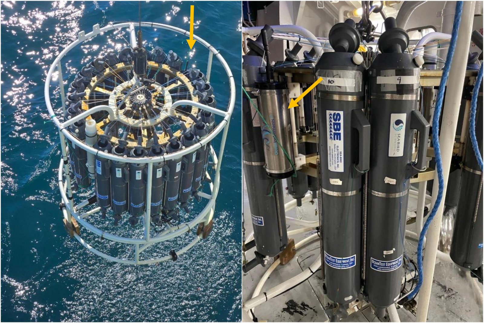
- Environmental conditions: Consider water depth, salinity, temperature, noise, and seabed characteristics.
- Installation and support: Confirm commissioning, operator training, maintenance, and availability of replacement components.